
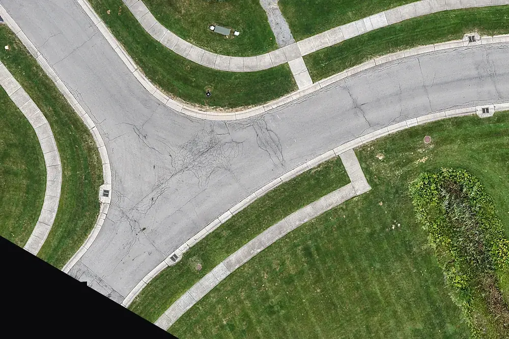
Company data
- Legal name: JMD Land and Sea LLC d/b/a Unmanned Air Services
- NYS SDVOB: Certification #269133 (NYS OGS Division of Service-Disabled Veterans' Business Development)
- SAM.gov: active · UEI HMD7XJ43QEC8 · CAGE 25HF7
- NAICS: 541990, 541922, 512110, 541690, 541370
- Insurance: aviation liability, $1,000,000 each occurrence; additional insured where a written agreement requires it
- Contact: Doug Lancie, Managing Member · (585) 645-2969 · [email protected]
Core competencies
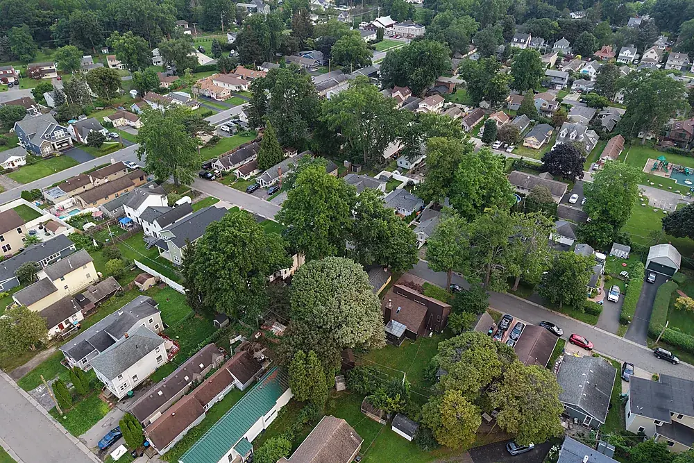
Construction progress documentation
Monthly aerial photos, video and maps from the same positions, for owner reports and the project record.
Explore →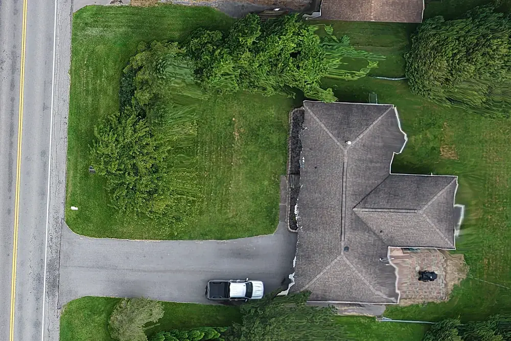
Reality capture for BIM & VDC
Point clouds, 3D meshes and orthomosaics of existing conditions and progress, aligned to your project control.
Explore →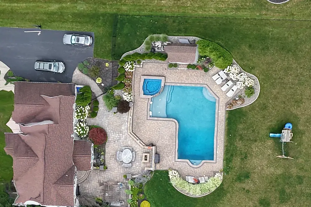
Drone mapping & site maps
Orthomosaic maps you can measure on, as GeoTIFF and Google Earth KMZ, fitted to your project control when you need it.
Explore →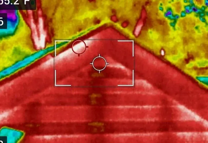
Infrared roof moisture surveys
Find wet insulation under flat and low-slope roofs so you repair the wet section, not the whole roof.
Explore →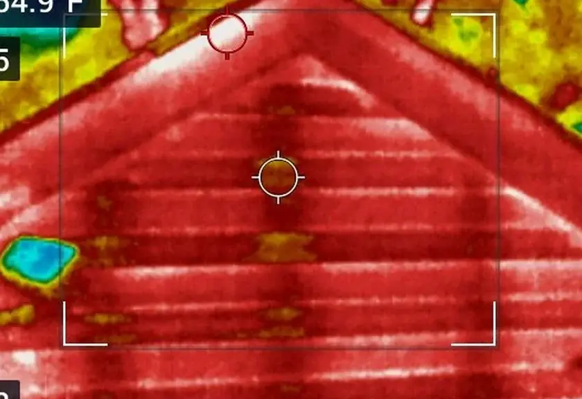
Building envelope survey
A complete infrared survey of walls, windows, doors, ceilings and floors, documented for insurance, warranty and public work.
Explore →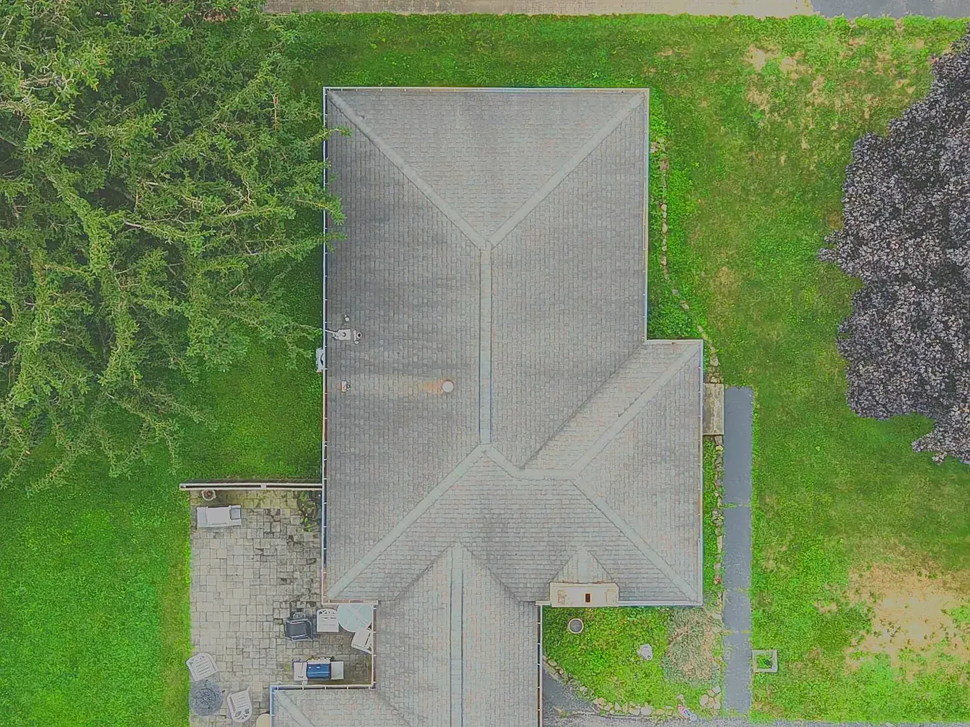
Drone roof inspection reports
Every slope and ridge photographed from above and annotated in a PDF. No ladder. $95.
Explore →How we work with primes
- Purchase orders or professional-services agreements preferred for documentation work
- Pilot in command on every flight; flight area agreed with the superintendent; no flight over workers
- FAA authorization for controlled airspace handled in-house
- On projects subject to the American Security Drone Act (FAR 52.240-1), DJI and other covered aircraft are not used; a compliant aircraft is confirmed before mobilization
- Deliverables in open formats (GeoTIFF, KMZ, JPEG, MP4, PDF) for Procore, DroneDeploy, Autodesk and GIS
- Imagery and maps are documentation, not land surveying
Common questions
Does work subcontracted to you count toward SDVOB goals?
Are you a federally certified SDVOSB?
What do you need from us to quote?
Related services
Construction progress documentation
Monthly aerial photos, video and maps from the same positions, for owner reports and the project record.
Explore →Drone mapping & site maps
Orthomosaic maps you can measure on, as GeoTIFF and Google Earth KMZ, fitted to your project control when you need it.
Explore →Infrared roof moisture surveys
Find wet insulation under flat and low-slope roofs so you repair the wet section, not the whole roof.
Explore →Where we fly
Based in Irondequoit and serving Rochester and Monroe, Wayne, Ontario, Livingston, Orleans and Genesee Counties, including Irondequoit, Webster, Penfield, Fairport, Pittsford, Brighton, Henrietta, Greece, Gates, Chili, Hilton, Spencerport, Victor, Canandaigua, Brockport, Honeoye Falls, Sodus, Williamson, Geneseo, Batavia and Albion. Travel beyond 25 miles of Rochester is $0.75 per mile. FAA airspace authorization near Greater Rochester International is filed by us at no charge.