Land & Acreage package
| Service | What you get | Price |
|---|---|---|
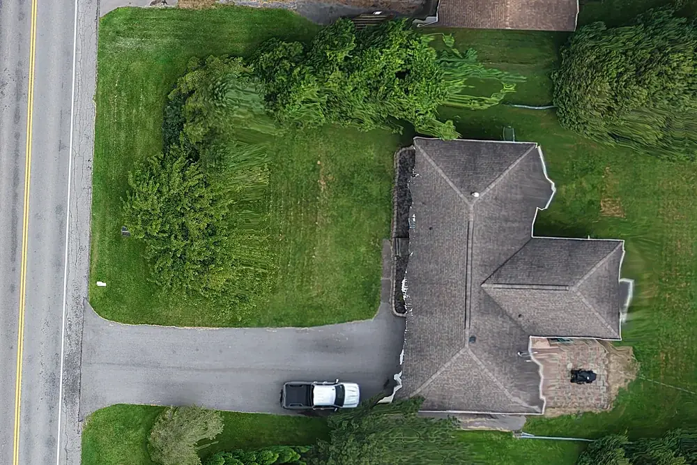
| Land & Acreage | Aerial stills, approximate parcel lines drawn from county tax-map GIS, and an orbit video, up to 10 acres | $475 |
| Larger parcels | Quoted by acreage; an orthomosaic map is often the better product above 10 acres | Quoted |
| Travel | Beyond 25 miles of Rochester | $0.75/mile |
What buyers want to see
- The whole parcel in one frame, with approximate lines so it's obvious where it starts and stops
- Road frontage, driveway or curb cut, and access
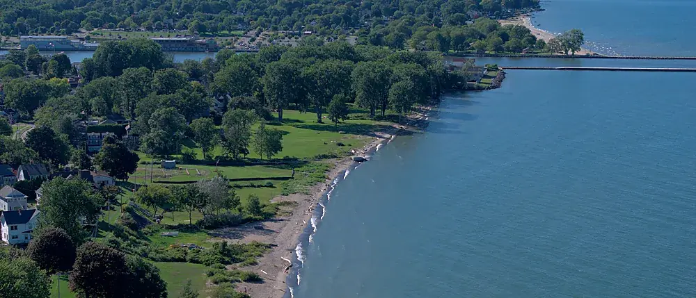
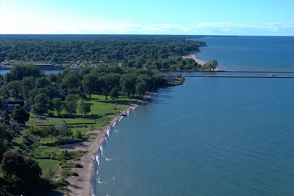
- Tree line, open ground, wet areas, water and the view
- Context: the neighbours, the road network, the nearest town
- A slow orbit video that does more for a land listing than any number of ground photos
Parcel lines are approximate, traced from public county GIS for illustration. They are not a survey and say so on the image.
Farms, waterfront and development land
Waterfront lots along Lake Ontario and the bays, farmland in Wayne and Ontario Counties, and development parcels around Rochester all photograph differently. We plan the flight around what sells that piece of land. For development parcels and anything over about 10 acres, an orthomosaic site map gives planners and buyers something they can measure on.
Common questions
How much is drone photography for a land listing?
Are the property lines accurate?
Can you photograph a parcel with no house?
Related services
Real estate drone photography
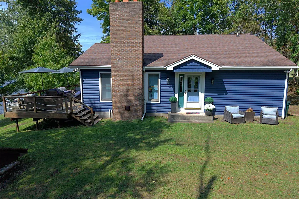
Listing aerials, ground sets and films from $199. City and near-airport addresses included.
Explore →
Drone mapping & site maps
Orthomosaic maps you can measure on, as GeoTIFF and Google Earth KMZ, fitted to your project control when you need it.
Explore →
Flying in Rochester's controlled airspace
Why city listings have no aerials, and how we fly them legally.
Explore →Where we fly
Based in Irondequoit and serving Rochester and Monroe, Wayne, Ontario, Livingston, Orleans and Genesee Counties, including Irondequoit, Webster, Penfield, Fairport, Pittsford, Brighton, Henrietta, Greece, Gates, Chili, Hilton, Spencerport, Victor, Canandaigua, Brockport, Honeoye Falls, Sodus, Williamson, Geneseo, Batavia and Albion. Travel beyond 25 miles of Rochester is $0.75 per mile. FAA airspace authorization near Greater Rochester International is filed by us at no charge.