
What we deliver into your BIM workflow
- Point cloud (LAS/LAZ): a georeferenced photogrammetric point cloud of the site for Autodesk ReCap, Navisworks, Civil 3D and Revit.
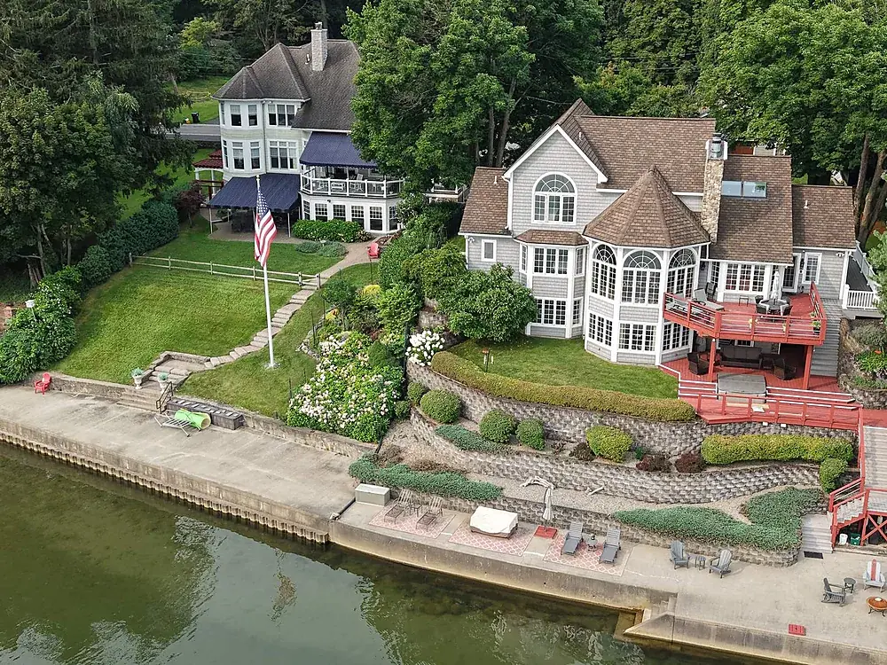
- Textured 3D mesh (OBJ): a photo-real model of existing conditions and surroundings for coordination, logistics planning and owner presentations.
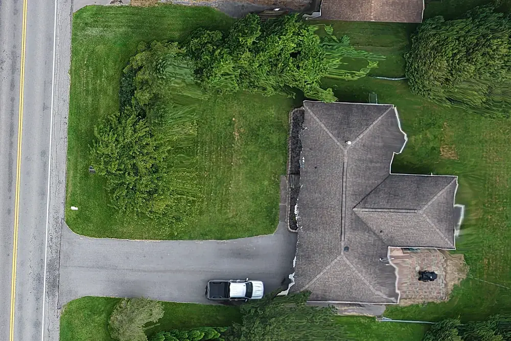
- Orthomosaic (GeoTIFF) and elevation model (DSM): a measurable, straight-down base layer for site logistics plans and progress overlays.
- Dated photo sets and video: oblique context of every face of the site, same positions each visit.
Everything is delivered in open formats, so it imports into Autodesk, Procore, DroneDeploy, Bentley or GIS tools without a vendor login.
Aligned to your project control, not floating in space
Reality data is only useful to a VDC team if it lands in the same place as the model. When your surveyor of record has set control on the site, we fit every capture to those points, used exactly as supplied in your project coordinate system, and hold some back as independent checks. Each delivery comes with a check-point report (horizontal RMSE and the number of points, following ASPRS Edition 2, Version 2, 2024).
No control on site yet? PPK correction against New York's GNSS reference stations is the Plan B for tightening absolute position, confirmed per project. Without independent check points, no accuracy figure is claimed.
How GCs use it
Existing conditions before design and bid
A point cloud and mesh of the site and neighbouring structures, so the design and the logistics plan start from what's really there.
Monthly progress against the model
The same flight plan every visit. Overlay each capture on the model and the schedule to see what's in place, what's behind and where quantities stand.
Coordination and owner reporting
A current 3D view of the site for coordination meetings, remote stakeholders and the monthly owner report.
Closeout record
A final georeferenced capture of the finished site for the owner's facilities team.
What this is, and what it isn't
Drone reality capture is photogrammetric documentation of visible surfaces. It complements your surveyor and your laser scanning; it doesn't replace them. We don't author Revit models, and the data isn't used for boundaries, legal descriptions, engineering design or certified pay quantities. No vertical accuracy is claimed. Where those govern, your licensed surveyor's work does.
Pricing
Reality-capture packages are quoted from the site size, the deliverables your VDC team wants and the visit schedule. For reference, orthomosaics start at $495 for up to five acres (+$25/acre), progress orthomosaics are $495 per visit, and fitting to existing project control is +$150. Call or text (585) 645-2969 or request a quote.
Common questions
What file formats do you deliver for BIM?
Will the data line up with our model?
What if there's no survey control on site?
Is this the same as laser scanning?
How often should we capture?
Related services
Construction progress documentation
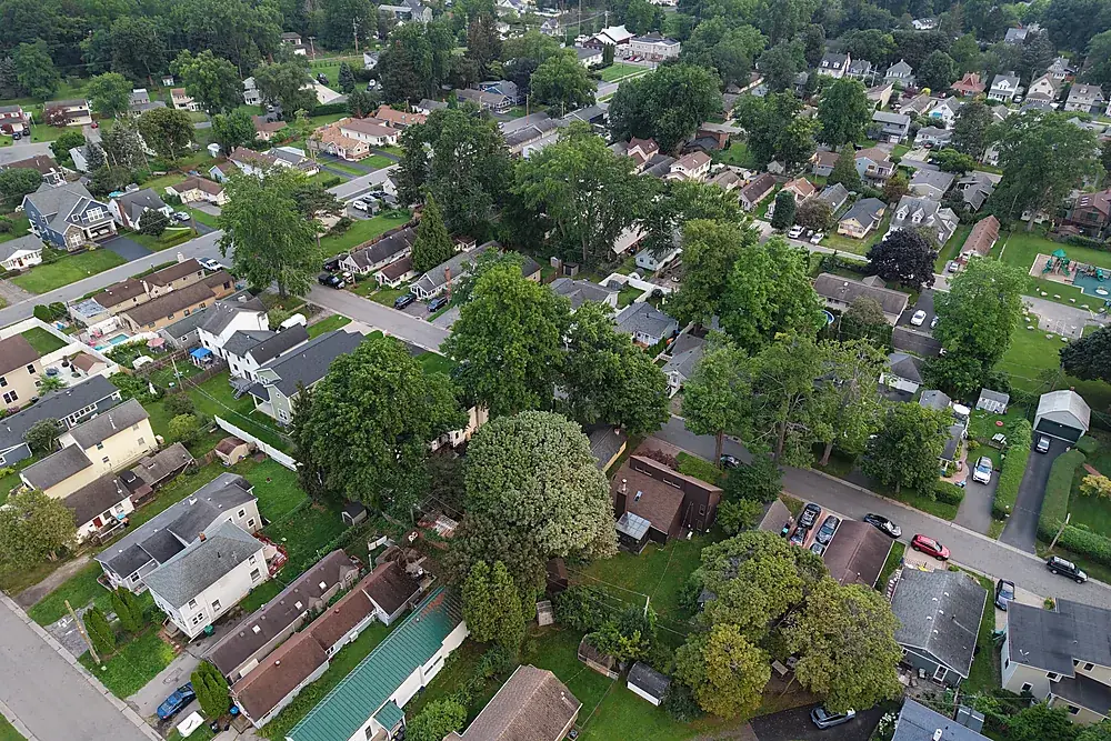
Monthly aerial photos, video and maps from the same positions, for owner reports and the project record.
Explore →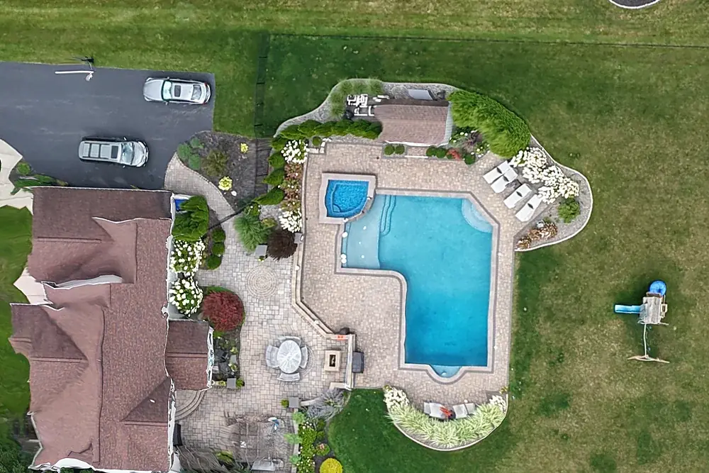
Drone mapping & site maps
Orthomosaic maps you can measure on, as GeoTIFF and Google Earth KMZ, fitted to your project control when you need it.
Explore →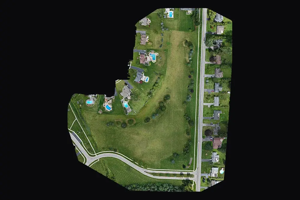
For primes and agencies (SDVOB)
NYS-Certified SDVOB drone documentation, mapping and thermography. Capability statement.
Explore →Where we fly
Based in Irondequoit and serving Rochester and Monroe, Wayne, Ontario, Livingston, Orleans and Genesee Counties, including Irondequoit, Webster, Penfield, Fairport, Pittsford, Brighton, Henrietta, Greece, Gates, Chili, Hilton, Spencerport, Victor, Canandaigua, Brockport, Honeoye Falls, Sodus, Williamson, Geneseo, Batavia and Albion. Travel beyond 25 miles of Rochester is $0.75 per mile. FAA airspace authorization near Greater Rochester International is filed by us at no charge.