The standard we work to
Mapping is done to the American Society for Photogrammetry and Remote Sensing (ASPRS) Positional Accuracy Standards for Digital Geospatial Data, Edition 2, Version 2 (2024). The standard does not say how to fly; it says how accuracy must be tested and reported. We follow it because it is the one your engineer already knows.
The short version: accuracy is a measured number, not a claim. It is measured against points we did not use to build the map, and it is reported as a root mean square error (RMSE) in the project's own coordinate system.
What happens on a controlled job
Your control, used as supplied
The surveyor of record sets the project control and sends the coordinates. We use them exactly as supplied, in the project coordinate system and datum. We do not set, adjust or re-observe control; that is the surveyor's work, and the map inherits the surveyor's datum because of it.
Targets on the control points
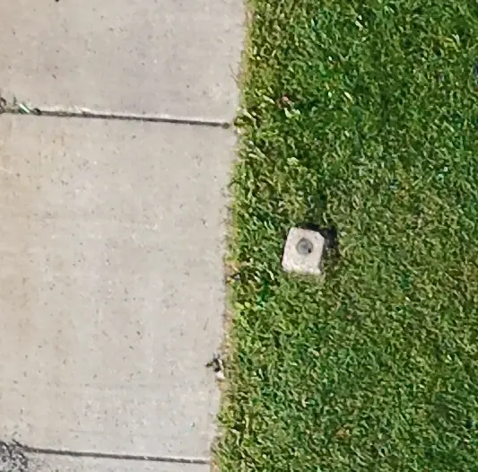
Each control point gets a high-contrast target before the flight, so it can be picked out to the pixel in the imagery.
A split, decided before processing
The control points are split into two sets before anything is processed: the points used to fit the map, and the independent check points that are held back and never touched by the fit. The split is recorded in the project's method register.
Fit, then test
The map is fitted to the first set. Then each check point is measured on the finished map and compared with its surveyed coordinate. The differences become the RMSE.
The report
Every map ships with a check-point report: each check point, its surveyed coordinate, its mapped coordinate, the difference, and the horizontal RMSE. If a check point is poor, you see it; nothing is dropped to improve the number.
What the numbers mean
Horizontal RMSE is the number we report. It is the root mean square of the horizontal differences at the independent check points, in the project's units. It is not the ground sample distance (the size of one pixel), which is a resolution figure and says nothing about position.
We report horizontal position only; elevations are not tested and the map is not assigned to a class. Elevation products (digital surface models, point clouds) are delivered for visualization, planning and quantities that your engineer reviews, with the horizontal check-point report attached.
Monroe County work is delivered in NAD83(2011) New York State Plane West, US survey feet (EPSG:6541) unless your project control says otherwise, so our maps overlay the county's and the surveyor's without transformation.
When there is no control
Three tiers, always stated on the map:
- Fitted to project control (above): independent check points and an RMSE report. The deliverable for design, as-built comparison and pay-item review.
- Post-processed kinematic (PPK) correction: no control on site, so the aircraft's own positions are corrected after the flight against New York State's continuously operating reference stations. Reported as a method, with the solution statistics; no independent check points unless you supply some.
- Onboard Global Navigation Satellite System (GNSS) only: the aircraft's consumer global navigation satellite system (GNSS) receiver. Absolute position is typically within 3 to 5 meters. Good for a listing image, a progress record or a planning sketch. Not for design.
A map never moves up a tier because of how it looks. It moves up because of what was measured.
Why we do it this way
Our project lead trained in digital forensics before he flew a drone for a living. The habits carried over: decide the method before you touch the data, hold back a test set, write down what you did, and hash the result. A map built that way can be checked by someone who was not there, which is the only kind worth relying on.
What's in the record, and how every delivered document is logged, is on the provenance page.
Common questions
What accuracy can you deliver?
Do you set ground control?
What is the ASPRS standard?
Is a drone map a survey?
What coordinate system do you deliver in?
Related services
Drone mapping & site maps
Orthomosaic maps you can measure on, as GeoTIFF and Google Earth KMZ, fitted to your project control when you need it.
Explore →Reality capture for Building Information Modeling (BIM) & Virtual Design and Construction (VDC)
Point clouds, 3D meshes and orthomosaics of existing conditions and progress, aligned to your project control.
Explore →What's in the record
A method register, a provenance record and a SHA-256 hash log for every delivered document. If it is ever questioned, it can be checked.
Explore →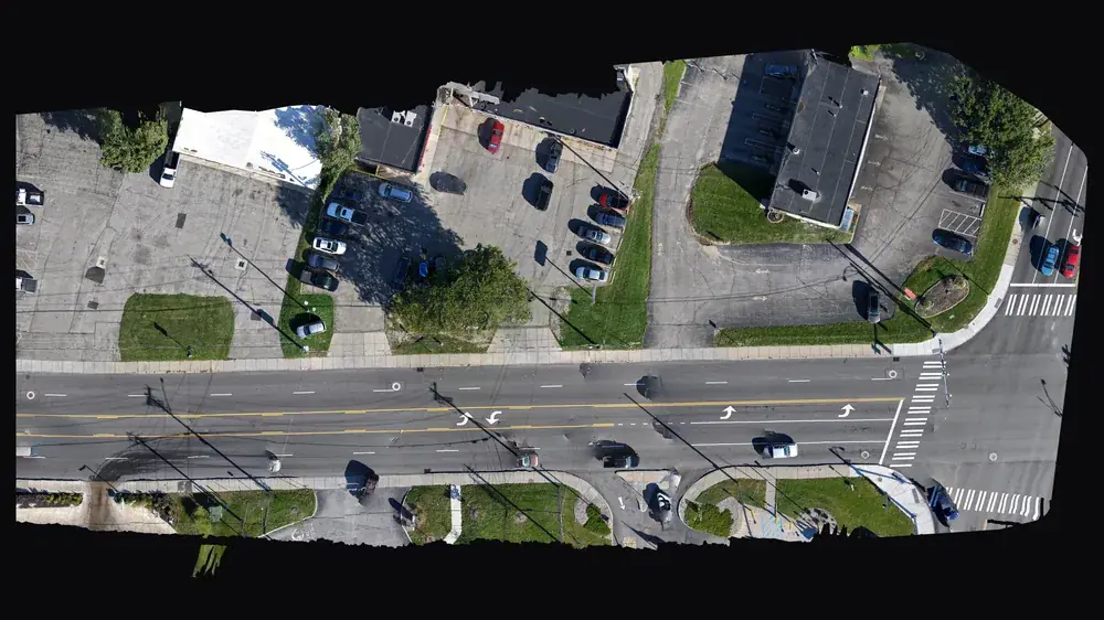
For primes and agencies (SDVOB)
NYS-Certified SDVOB drone documentation, mapping and thermography. Capability statement.
Explore →Where we fly
Based in Irondequoit and serving Rochester and Monroe, Wayne, Ontario, Livingston, Orleans and Genesee Counties, including Irondequoit, Webster, Penfield, Fairport, Pittsford, Brighton, Henrietta, Greece, Gates, Chili, Hilton, Spencerport, Victor, Canandaigua, Brockport, Honeoye Falls, Sodus, Williamson, Geneseo, Batavia and Albion. Travel beyond 25 miles of Rochester is $0.75 per mile. FAA airspace authorization near Greater Rochester International is filed by us at no charge.