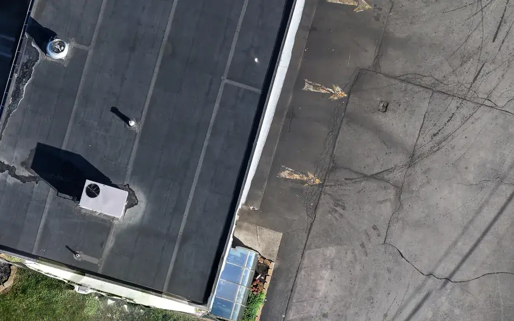
Three layers, every job
Method register
Before processing starts, the method is written down: aircraft and sensor, flight parameters, the control supplied and by whom, which points fit the map and which were held back as check points, the software and settings, the coordinate system. It is the recipe, fixed before the result is known.
Provenance record
Where each number in the deliverable came from: the surveyor's control file, the flight logs, the processing report, the check-point measurements. Each input is named and kept for the life of the project, so a figure on the map can be traced back to the measurement that produced it.
Hash log
Before any document leaves, its SHA-256 hash is computed and written to a dated ledger with the job, the file name and the file size. SHA-256 is the same cryptographic fingerprint used in digital evidence handling: change one pixel or one character and the hash changes. The copy you hold can be checked against the ledger at any time.
A ledger entry
This is what one line of the hash log looks like, for a client delivery guide. The job and the client are masked here; on your project the entry is complete.
utc_timestamp  2026-10-18T01:23:28+00:00
job_id         WORKS-RD-…
file_name      00-START-HERE_…_Delivery-Guide.pdf
sha256         98fad983cedc1e56a4c0667e2003cf9fa8e1baa73733639843985eb1a0c39de7
bytes          138699
disclaimer     short
source_tool    uas_hashlog.py scan
Every document that carries a disclaimer (parcel-line maps, outlined photos, delivery guides, check-point reports) is logged this way before delivery. The ledger is append-only and kept off the delivery drive.
Why it matters on your project
- Disputes. A progress orthomosaic from March, with a hash logged in March, settles what was standing in March.
- Pay applications. The record behind a quantity can be shown to the owner's representative, not just asserted.
- Closeout and the owner's record. Ten years from now the file can still be verified against the ledger, whoever is holding it.
- Public work. Primes and agencies increasingly ask how a subconsultant's data was produced. The answer is a document, not a conversation.
The practice comes from our project lead's training in digital forensics and chain of custody. It costs nothing extra; it is how every job is run.
Common questions
Can I verify a file you delivered?
What is in the method register?
Do you keep the source data?
Related services
How we measure
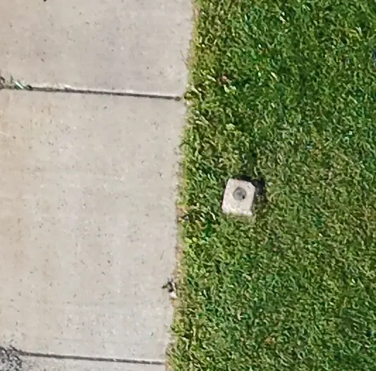
Maps fitted to your surveyor's control, independent check points, a root mean square error report on every map. The method, in plain terms.
Explore →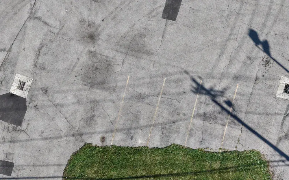
Drone mapping & site maps
Orthomosaic maps you can measure on, as GeoTIFF and Google Earth KMZ, fitted to your project control when you need it.
Explore →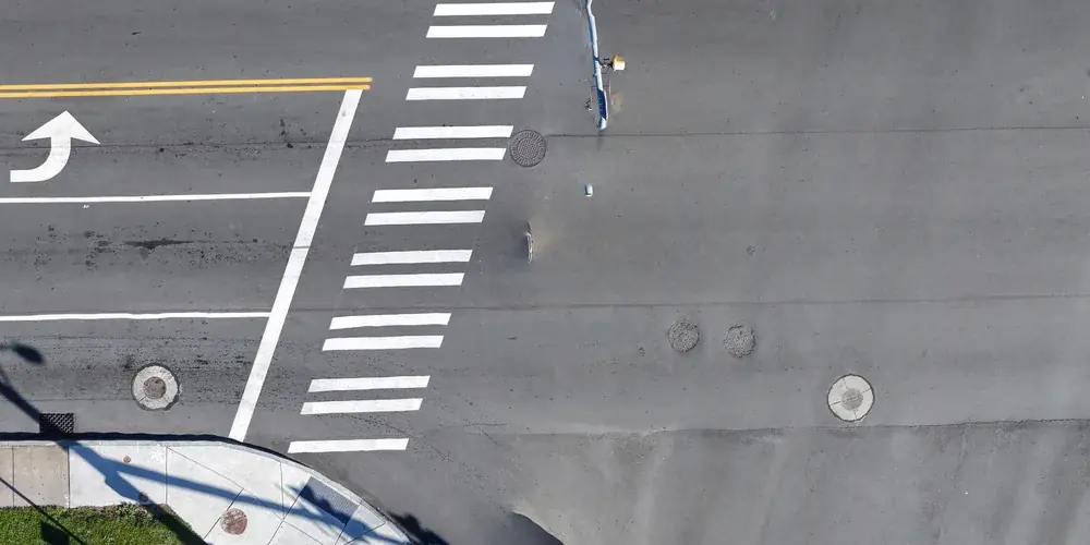
Reality capture for Building Information Modeling (BIM) & Virtual Design and Construction (VDC)
Point clouds, 3D meshes and orthomosaics of existing conditions and progress, aligned to your project control.
Explore →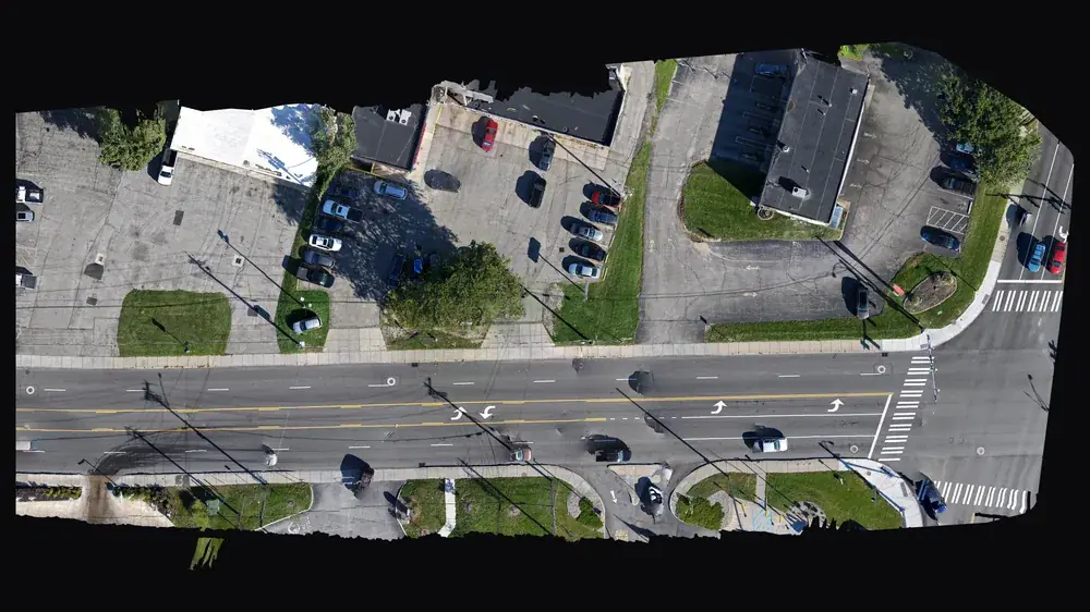
For primes and agencies (SDVOB)
NYS-Certified SDVOB drone documentation, mapping and thermography. Capability statement.
Explore →Where we fly
Based in Irondequoit and serving Rochester and Monroe, Wayne, Ontario, Livingston, Orleans and Genesee Counties, including Irondequoit, Webster, Penfield, Fairport, Pittsford, Brighton, Henrietta, Greece, Gates, Chili, Hilton, Spencerport, Victor, Canandaigua, Brockport, Honeoye Falls, Sodus, Williamson, Geneseo, Batavia and Albion. Travel beyond 25 miles of Rochester is $0.75 per mile. FAA airspace authorization near Greater Rochester International is filed by us at no charge.